
Roseburg Temperatures to Reach Mid-80s Before Weekend Cooldown
Roseburg will reach the mid-80s Thursday and Friday before cooling to around 68 Saturday. Morning fog returns this weekend, while rain chances remain low heading into early next week.

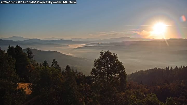
ROSEBURG, Ore. - Roseburg will get another stretch of unusually warm October weather Thursday and Friday before a cold front brings cooler temperatures and morning fog to the Umpqua Basin this weekend.
Thursday’s forecast calls for sunshine after patchy early morning fog, with a high near 85 degrees. Mostly clear skies are expected overnight, with temperatures falling to around 47.
Friday will bring more sunshine and a high near 84. Winds in Roseburg should remain light, becoming northerly at 5 to 7 mph in the afternoon.
The National Weather Service in Medford said high pressure will keep inland areas roughly 15 to 20 degrees warmer than normal through Friday. Dry air and gusty winds over ridges and in some other parts of the region will also raise fire weather concerns. Forecasters expect elevated, but not critical, fire weather conditions, particularly east of the Cascades on Friday.
A noticeable change arrives Saturday as a dry cold front moves through southern Oregon. Marine air will spread clouds into coastal areas and the Umpqua Basin, bringing Douglas County temperatures closer to normal.
In Roseburg, Saturday’s high is expected to reach about 68 degrees, roughly 16 degrees cooler than Friday. Areas of fog are possible before 10 a.m., followed by partly sunny skies. Saturday night will be partly cloudy, with a low around 42.
Sunday is expected to remain dry and mild, although morning low clouds are possible west of the Cascades.
The next opportunity for rain comes Sunday night into Monday as a low-pressure system and front approach the coast. Forecasters expect the system to remain offshore while gradually moving south, keeping much of its rain away from inland communities.
Monday’s rain chances are about 10% to 20% inland, compared with 30% to 40% along the coast. The outlook for Tuesday and Wednesday remains uncertain as forecast models differ on the system’s track and how far north its moisture could reach.


Comments ()