Prescribed Burn Planned Near North Bank Habitat Management Area
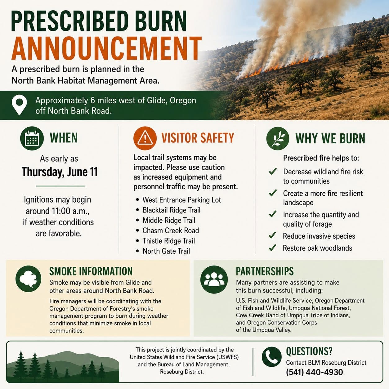
A 122-acre prescribed burn is planned as early as Thursday near the North Bank Habitat Management Area west of Glide. Smoke may be visible, and some trails and parking areas could be temporarily impacted.

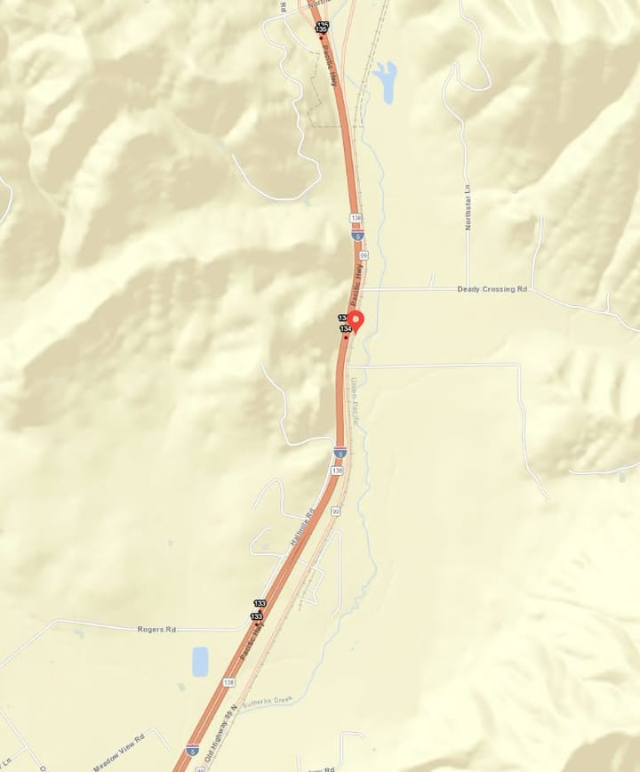
GLIDE, Ore. — A 122-acre prescribed burn is planned in the North Bank Habitat Management Area, about six miles west of Glide off North Bank Road, weather permitting.
Ignitions could begin as early as Thursday, June 11, around 11 a.m.
The burn is being jointly coordinated by the United States Wildland Fire Service and the Bureau of Land Management’s Roseburg District. Officials said visitors should use caution in the area due to increased equipment and personnel traffic.
Portions of the local trail system may be temporarily impacted during the operation, including the West Entrance Parking Lot, Blacktail Ridge Trail, Middle Ridge Trail, Chasm Creek Road, Thistle Ridge Trail and North Gate Trail.
Prescribed fire is used as a land management tool to reduce wildfire risk, create more fire-resilient landscapes, improve forage for wildlife, reduce invasive species and restore and maintain oak woodlands.
Smoke may be visible from Glide and surrounding areas near North Bank Road. Fire managers said they will work with Oregon’s smoke management program to conduct the burn under conditions that help reduce smoke impacts to nearby communities.
Anyone with questions can contact the BLM Roseburg District at 541-440-4930.

Comments ()