
Cameras, Aircraft, And Drones Give Oregon Firefighters A Technological Edge
The Oregon Department of Forestry is using cameras, drones, aircraft and advanced mapping systems to detect wildfires sooner, improve firefighter safety and strengthen emergency response across the state.
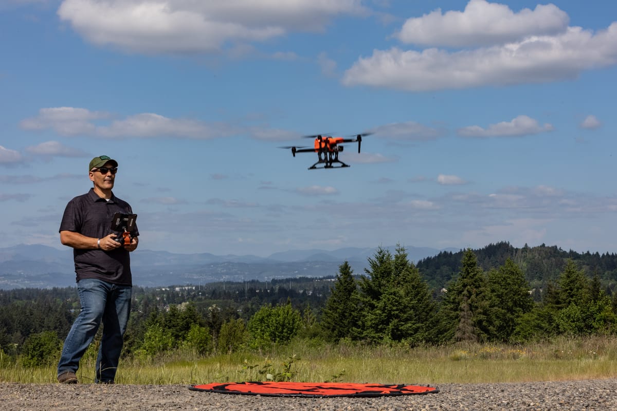
SALEM, Ore. - From mountaintop cameras that scan the horizon for smoke to aircraft capable of mapping fires through darkness and heavy haze, technology is playing an increasingly important role in how Oregon detects and responds to wildfires.
The Oregon Department of Forestry is using a growing collection of digital tools to locate new fires sooner, guide firefighters in the field, track resources and give emergency managers a clearer picture of changing conditions across the state.
Detection Cameras Monitor Thousands Of Acres
ODF now has 96 operational wildfire detection camera sites positioned throughout Oregon.
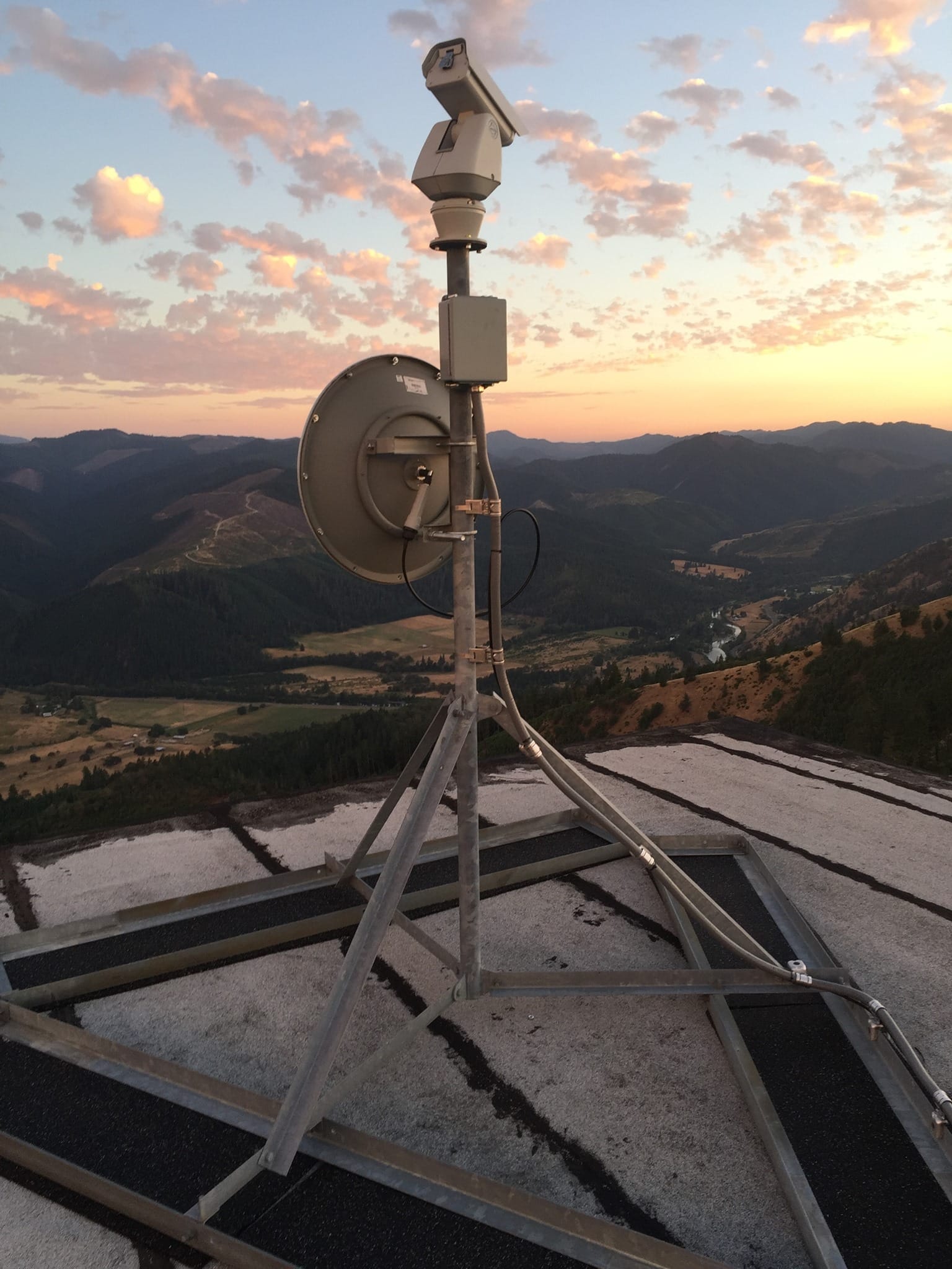
The cameras continuously monitor large areas of forestland and are supported by software that can alert operators when it detects possible smoke. Human operators also watch the feeds and may identify a developing fire before an automated notification is generated.
When smoke is spotted, an augmented mapping system helps estimate its location. That information can then be sent to dispatchers and responding firefighters.
ODF also works with fire protection associations and other agencies through the Oregon Wildfire Detection Camera Interoperability Committee. The group is focused on improving coordination between organizations that use camera networks for early fire detection.
The goal is to find fires while they are still small, reduce suppression costs and limit potential damage to communities and natural resources.
Multi-Mission Aircraft Expands Aerial Capabilities
ODF’s Multi-Mission Aircraft program provides aerial support for wildfire detection, mapping, disaster response, aerial ignition operations and supply delivery.
Since the program began in 2020, the aircraft have detected 149 fires, completed 17 mapping missions and flown seven operational support missions, according to ODF.
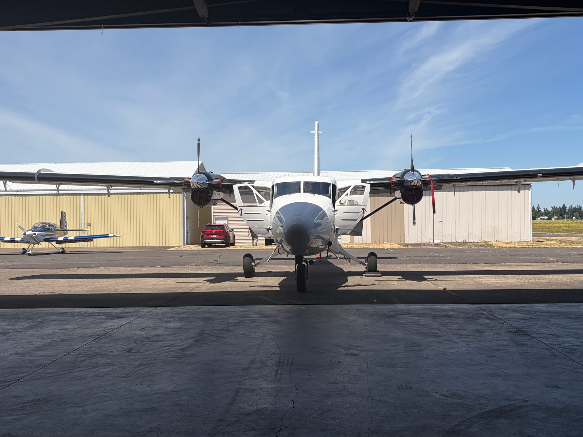
The agency recently invested in a Twin Otter aircraft equipped with several advanced systems, including:
- Forward-looking infrared sensors
- Night vision equipment
- An augmented reality system
- An artificial intelligence-assisted mapping scanner
The aircraft can collect and transmit information from above a fire, helping crews understand its location, size and movement. Infrared technology can also help identify heat through smoke or during nighttime operations.
ODF said demand for the aircraft continues to increase as more incident commanders incorporate aerial intelligence into fire operations.
Online System Helps Residents Check Burning Rules
Technology is also being used to help residents determine whether outdoor burning is allowed in their area.
The Before You Burn website and mobile application provide location-specific information about burning restrictions and prevention requirements.
Users can enter an address to learn whether burning is currently permitted. When burning is allowed, the system provides information about local requirements, including whether the resident must register the burn or obtain a permit.
The free service is available at beforeyouburn.net.
FireWeb Replaces Aging Reporting System
ODF recently began using FireWeb, a new platform that replaces the agency’s approximately 20-year-old FIRES database.
FireWeb collects and reports incident information while also supporting dispatch and geographic information system functions. The platform helps dispatchers track incidents and deploy resources more efficiently.
Because the system is web-based, ODF can also exchange information with federal reporting platforms and conduct more detailed analysis of wildfire data.
Drones Assist With Mapping And Firefighter Safety
ODF’s Unmanned Aircraft Systems Program has expanded since it was established in 2017.
Drones are used to locate fires, map incident boundaries, identify remaining hot spots and gather information in terrain that may be difficult or dangerous for firefighters to access.
The aircraft can provide crews and incident commanders with real-time situational awareness without placing personnel directly in hazardous areas.
ODF’s first unmanned aircraft mission took place during the Eagle Creek Fire. A fixed-wing drone was used to gather intelligence when thick smoke limited visibility.
The agency said the mission demonstrated how unmanned aircraft could provide useful information during conditions that might otherwise prevent traditional aerial observation.
Statewide Mapping Brings Fire Information Together
The State of Oregon Fire Situation Analyst, known as SOFSA, serves as a shared statewide mapping and information system for ODF and the Oregon State Fire Marshal.
The Intterra-based platform brings together information from multiple official sources, including ODF’s FireWeb system and national dispatch databases.
SOFSA can display:
- Active wildfire information
- Weather and fire environment conditions
- Land ownership boundaries
- Satellite fire detections
- Lightning activity
- Wildfire detection camera information
- Smoke data
- Incident action plan information
The platform is also used to view infrared imagery, maps and video collected by ODF’s Multi-Mission Aircraft. Information from active flights can be displayed in near-real time.
ODF said it expects technology to become even more integrated into its work as wildfire detection systems, aircraft equipment, mapping platforms and unmanned aircraft continue to improve.

Comments ()