
Low snowpack across Oregon could affect water levels and wildfire risk in Douglas County
Snowpack across Oregon is well below normal this winter, raising concerns about summer water supplies and wildfire risk. In southern Oregon, limited snowfall and early melting have already impacted snow recreation.
DOUGLAS COUNTY, Ore. — Snowpack across Oregon and much of the western United States is tracking well below normal this winter, raising concerns about summer water supplies and the potential for an earlier or more active wildfire season in southwest Oregon.
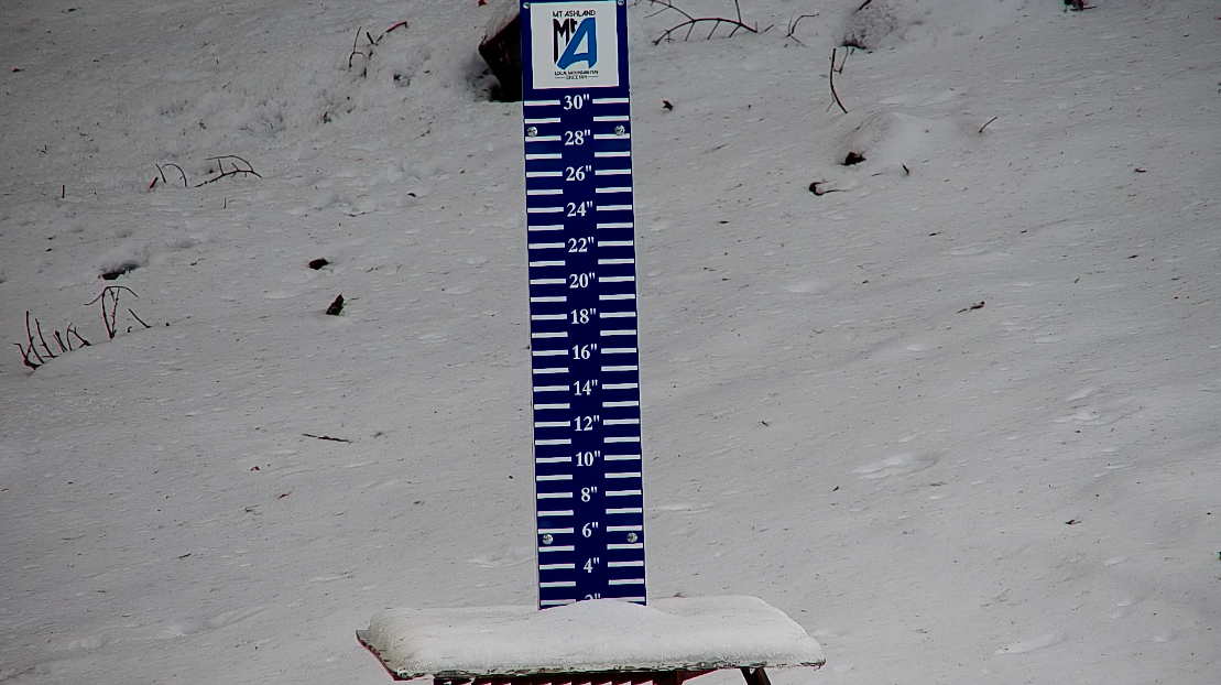
State and regional monitoring data show mountain snowpack at historically low levels for early February following a warmer-than-average and relatively dry winter. Snowpack acts as a natural reservoir, slowly releasing water into rivers and streams as it melts through spring and early summer. When snow totals are low, less water is available later in the year.
For the Umpqua Basin, winter snow in the Cascades and surrounding mountains plays a key role in maintaining river flows, soil moisture and reservoir levels through the warmer months. Below-average snowpack can contribute to lower summer streamflows, earlier drying of grasses and vegetation, and increased fire danger as conditions warm.
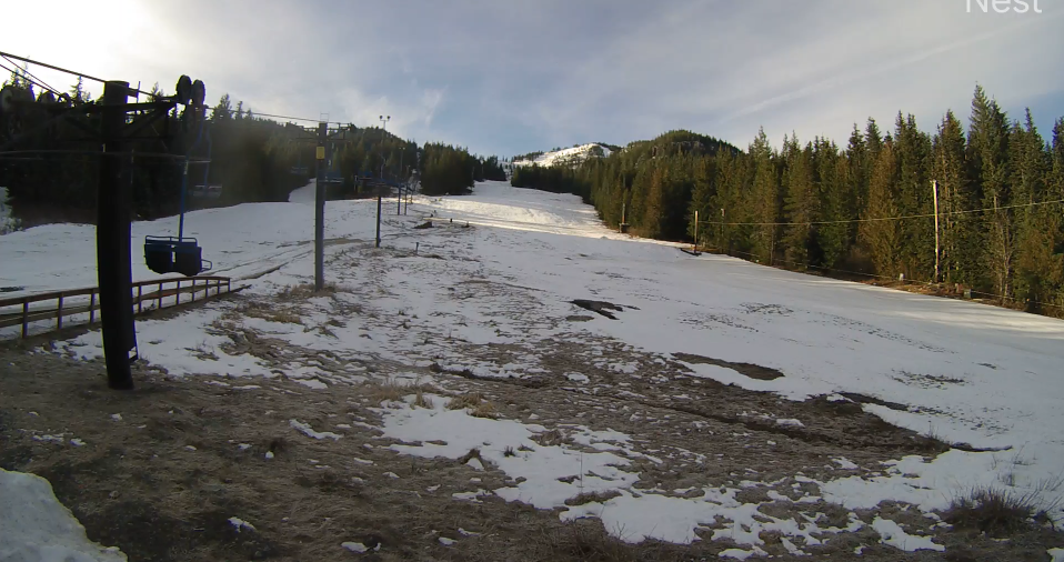
The lack of consistent snow has already affected winter recreation in parts of Oregon. Several ski areas across the state have reported shortened seasons, reduced terrain or temporary closures tied to warm temperatures and limited snowfall. In eastern Douglas County, Diamond Lake Resort has at times halted operations at its tubing hill this winter due to melting snow and periods without new accumulation, highlighting how quickly conditions can change during a warm season. According to Diamond Lake Resort's social media page, the snow tubing hill will be open this upcoming Sunday and Monday (February 14th & 15th).
Fire agencies across Oregon typically monitor winter snowpack closely because it can influence how quickly fuels dry out. Earlier snowmelt or limited snow accumulation can lengthen the window for wildfire activity, particularly during hot and dry summers. While winter conditions alone do not determine the severity of a fire season, they are one of several indicators used in seasonal outlooks.
So far this winter, much of the precipitation that would normally fall as snow at mid-elevations has instead arrived as rain, which runs off more quickly and does not remain stored in the mountains. January also brought below-average precipitation across much of the Pacific Northwest, limiting snow buildup during a key part of the season.
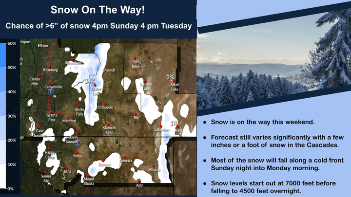
Some cooler and wetter weather is expected at times in the coming weeks, which could bring additional mountain snow and help improve conditions slightly. However, long-range outlooks suggest it may be difficult for many areas to return to average snowpack levels before spring.
Local agencies and land managers typically begin ramping up wildfire preparedness efforts in late winter and early spring. Residents in Douglas County are often encouraged to use the remaining winter months to clear defensible space around homes, remove dry vegetation and prepare for the upcoming fire season.
Snowpack levels are usually monitored through April, when the region typically reaches peak accumulation before spring melt begins.

Comments ()